

Plan IGN
Trail Running & Nordic Walking – Permanent trails
The ExtraTrail concept is now in place in the commune of JALHAY. The 12km, 13km, 26km and 40km routes are operational and are undergoing testing.
For your convenience, you can consult the SityTrail maps and download the GPX routes.
You can run in complete freedom. Use of the tracks in the responsibility of each individual. ExtraTrail can in no way be held liable for damage or injuries caused to users of our tracks.
Some bridges or slatted walkways are not designed to be crossed at speed; ExtraTrail encourages runners and ramblers to approach these structures with care and without running.
No compensation can be claimed from ASBL ExtraTrail, the owner of the sites or the manager of the infrastructure manager in the event a user has an incident or accident by using the structures present along our routes.
In areas frequented by walkers and families, it is recommend showing respect to others so that everyone can benefit from these often unique areas.
The website www.extratrail.com/en gives precise instructions for the routes including the state of the paths, precautions to take, a weather chart, practical information and closure information in case of storms, hunts or shoots.
All the routes are studied carefully to offer varied landscapes and a range of technical difficulties. Created using the “Sity Trail” platform, the routes are signposted by easily-identifiable markers.
TRAILS IN JALHAY? YOU WILL NEVER HAVE BEEN THIS CLOSE TO NATURE
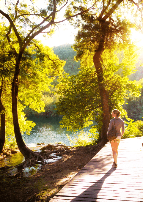
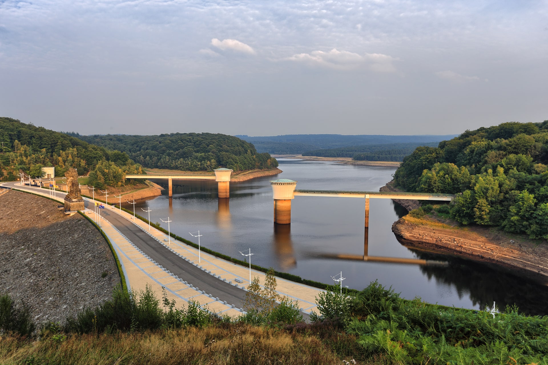
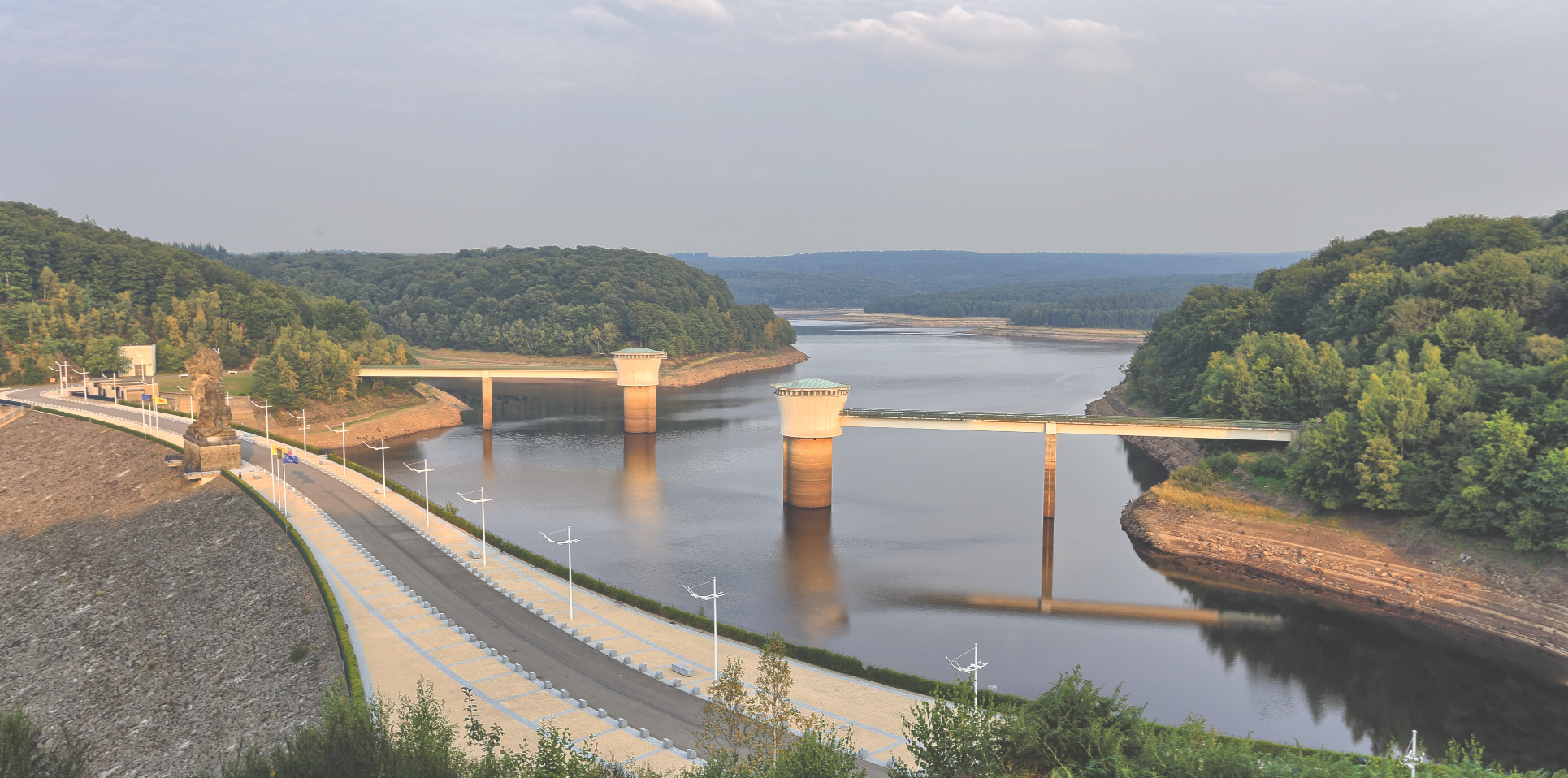
Jalhay is perfect for fans of technical single tracks snaking alongside small watercourses and through vast isolated forests. Far from civilisation, you enter into communion with this incredible environment. The sound of the gently-flowing streams, the flexibility of the lichen cushioning your step, the deer keeping watch, the cloud reflections on Gileppe lake; everything you need to connect with wild and authentic nature.
Jalhay plays host to a large community of trail walkers and hosts small and large running events playing an important role in the area and in history. “Grand Trail des Lacs et Châteaux (GTLC)”, “Sawe qui Peut”, “l’Herbiestrail”, “Trail des Nutons”, “Triplette de Solwaster”,… are all chances to celebrate this passion we share.
The Jalhay routes criss-cross the Hoëgne valley. They lie between the High Fens area and the Gileppe dam.
http://www.extratrail.com/en/trails-in-jalhay-3/
Copyright photo Eric Vervier

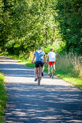
Le RAVeL, c’est plus de 1.350 km de voies réservées aux piétons, cyclistes, cavaliers, personnes à mobilité réduite ! Confortable et sécurisé, le Réseau Autonome des Voies Lentes (RAVeL) est composé de voies vertes essentiellement aménagées sur les chemins de halage et les anciennes lignes de chemin de fer. L’itinéraire se trouve presqu’en totalité en site propre sécurisé sur le RAVeL de la Ligne 44A. Il démarre à Sart Station et monte tout en douceur vers le village de Hockai et son pont du centenaire pour redescendre vers Francorchamps. Vous poursuivez jusqu’à l’entrée de Stavelot et vous traversez la fameuse côte de la Haute Levée pour rejoindre la ligne 45. Vous pouvez également le prendre dans la direction de Spa et bonne nouvelle, le parcours vient d’être asphalté!
Infos pratiques :
Point de départ : Rue de la Station à Sart-Station, le long de la N640. En face de l’ancienne de gare de Sart station.
Accès en voiture : quelques places de parkings disponibles à proximité.
Fin du tronçon :
Connexion au RAVeL de la Ligne 45, à proximité de la Haute-Levée (N622) à Stavelot
carte : ravel.wallonie.be/home/itineraires/local/ligne-44a.html
Aucune signalétique
Plan IGN

Photos aériennes / IGN

Carte des pentes (plan IGN)

Carte 1950 / IGN

Carte de l'état-major (1820-1866)

Open Street Map